← All Projects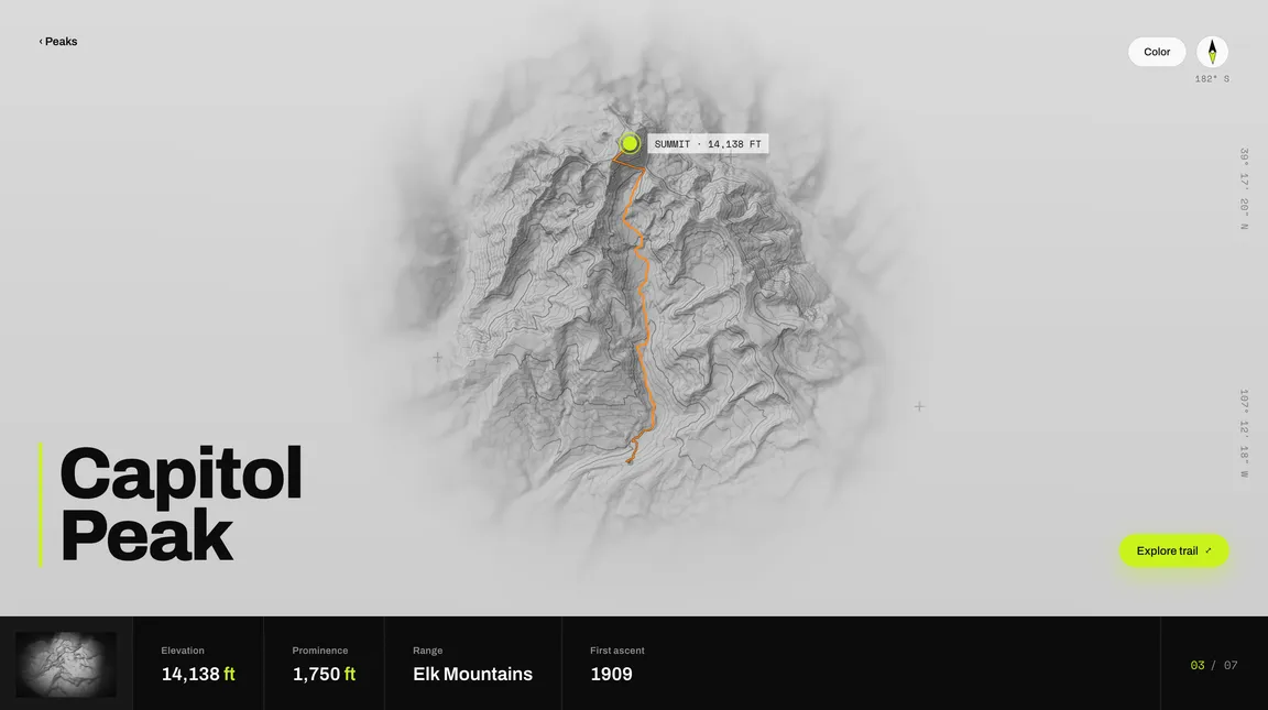 (opens in a new tab)
thefourteeners.pages.dev
The Fourteeners
Interactive 3D route maps for all 58 Colorado fourteeners, rendered from real terrain data in the browser.
- Role
- Design & build
- Year
- 2026
- Stack
- three.js · Vite · Bun · Cloudflare Pages
58
Peaks
63
Pages
33
Scene datasets
This was a really fun site to build. I was inspired after a three-day backpacking trip to see a visual overview of the miles and elevation we covered on our trek. Using only open datasets, I built a few prototypes that eventually turned into some of the scenes in the site.
The Fourteeners renders each route using real USGS 3DEP elevation data to create a mesh, OpenStreetMap routes get draped over it. It is a fully static site. A generator run turns the terrain and route data into 63 pre-rendered pages, Vite bundles the viewer, and the output deploys to Cloudflare Pages.